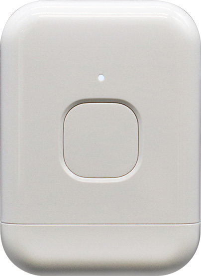
docomap Portable
Compact and lightweight GPS terminal 
Basic Information
Specifications
Features
Basic Information
Specifications
Features
Basic Information
Specifications
Features

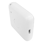
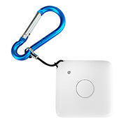
ELTRES™ Sensing Unit

Despite its small size and light weight, ELTRES™ enables stable tracking, and its high dustproof and waterproof performance (IP65) makes it suitable for a wide range of situations.
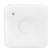
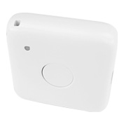
* Do not use the product in a place where the temperature exceeds 40°C because of the built-in lithium-ion battery.

GNSS Positioning Satellite System

Sensing Unit uses US GPS, Japan's MICHIBIKI (QZSS], and Russia's GLONASS satellite positioning systems to obtain more accurate location information.

Transmission Interval

Receive location information once every 60 seconds. You can also use Google Maps functions such as traffic information and Street View directly on DoCoMAP.

docomapPLUS Support

Supports the docomapPLUS application for DoCoMAP, which records operation status using a smartphone, enabling real-time recording and management of operation status linked to vehicle location information in the cloud, as well as daily operation reports and labor management.

DoCoMAP Support

In addition to real-time location information, vehicle travel tracing, operation history, and a time machine function that allows the location of all vehicles to be checked are stored for one year and can be checked at any time. In addition, rain cloud information, company and shipper information, and more can be easily checked on the map screen.

Dashboard Support

A simple and easy-to-understand administrator-only page. Location information sent from devices and operation status data sent from dedicated applications can be managed in the cloud. In addition, you can access the Dashboard anytime, anywhere from your browser to check the data.

ELTRES™ LPWA Communication Standard

In a small module, Sensing Unit uses Sony's proprietary ELTRES Low Power Wide Area (LPWA) communication standard with the hardware required for communications.

Size (mm) W40 × D14.8 × H55
Positioning method GNSS (GPS, QZSS, GLONASS)
Transmission interval Minimum of approx. every 60 seconds
Antenna Built-in LPWA/GNSS
Power supply USB Type-C (5.0V)
I/F USB Type-C
Communication method ELTRES™ (LPWA)
Water/dust resistance IP65
Operating environment temperature 5℃ to 40℃
Provider Sony Network Communications Inc.

Sony's original communication standard

Supports ELTRES™, Sony's proprietary LPWA (Low Power Wide Area) communication standard, featuring long-distance stable communication, high-speed mobile support, and low power consumption.

Built-in battery for use anywhere

Compact, lightweight, and waterproof, the ELTRES feature enables transmission of location information once every minute for a minimum of three days, making it easily managed and used by company drivers as well as partner companies.
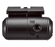
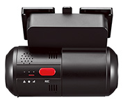
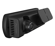
D-TEG製 TX2100

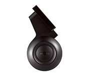
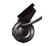
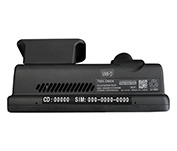
Communication-type drive recorder with built-in GPS and support for two cameras, with 'locus point video acquisition' available for remote acquisition of images stored to SD cards.

Option

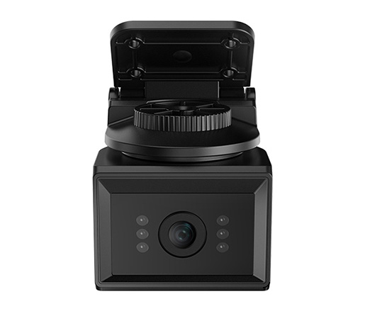
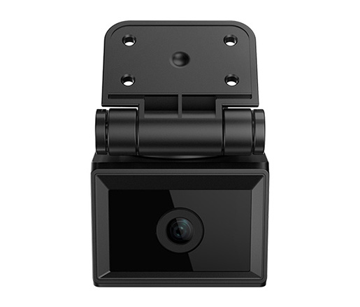
Internal Camera

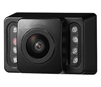
Rear Camera

*Not waterproof; must be installed inside vehicle

GNSS Positioning Satellite System

Highly accurate location information can be obtained by using three satellite positioning systems: US GPS, Japan's MICHIBIKI (QZSS], and Russia's GLONASS.

Transmission Interval

Receiving position data every 10 seconds, you can view the vehicle route with high accuracy on DoCoMAP, making it ideal for DX data acquisition.

docomapPLUS Support

Supports the docomapPLUS application for DoCoMAP, which records operation status using a smartphone, enabling real-time recording and management of operation status linked to vehicle location information in the cloud, as well as daily operation reports and labor management.

DoCoMAP Support

In addition to real-time location information, vehicle travel tracing, operation history, and a time machine function that allows the location of all vehicles to be checked are stored for one year and can be checked at any time. In addition, rain cloud information, company and shipper information, and more can be easily checked on the map screen.

Dashboard Support

A simple and easy-to-understand administrator-only page. Location information sent from devices and operation status data sent from dedicated applications can be managed in the cloud. In addition, you can access the Dashboard anytime, anywhere from your browser to check the data.

Dangerous Driving Behavior Detection

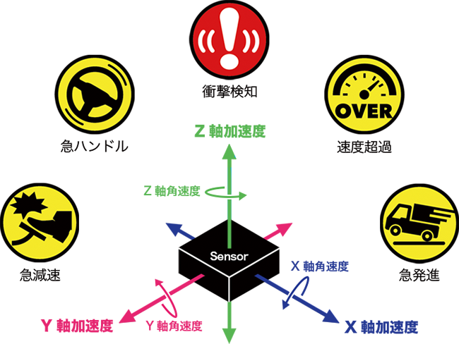
Hazardous behaviors such as sudden acceleration, sudden deceleration, and sharp turns can be detected by G sensor (acceleration sensor], Gyro sensor, and vehicle speed pulse. Administrators can be notified and the detected hazardous behaviors can be checked at any time from the event list.

LTE support

The device can be used within LTE areas nationwide. It is 5 times faster than the conventional communication standard (3G) and allows administrators to manage location information immediately.

Size (mm) W115.8 × D64 × H57
Weight Approx. 226g (excluding cable)
Positioning method GNSS(GPS、QZSS、GLONASS)compatible
Built-in GPS, G Sensor, Gyro Sensor
Recording resolution Full HD (1080p], HD (720p], VGA (480p)
Frame rate Up to 30 fps (with 2 cameras connected: Full HD up to 15 fps, other resolutions up to 30 fps)
Number of pixels 2 megapixels (interior camera: max. 2 megapixels)
Recording media microSD card (SDHC: 16 GB to 32 GB) (SDXC: 64 GB to 512 GB) * Included: 128 GB.
Transmission interval Minimum of approximately every 10 seconds
Communication method LTE/3G
Operating environment temperature -20℃ to +60℃
Power supply voltage 12V/24V

Save recorded incidents

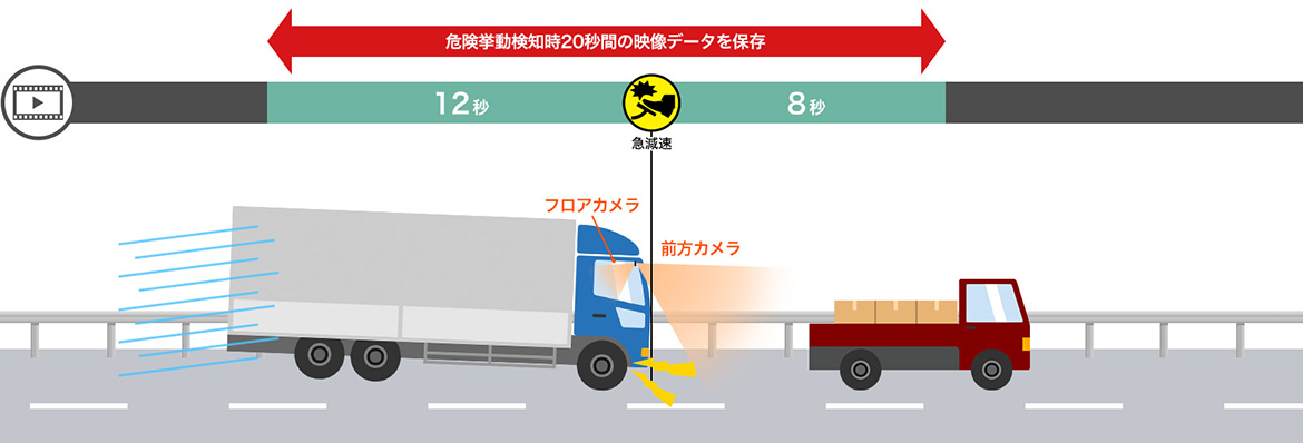
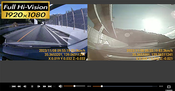
docomapEye automatically uploads 20 seconds of video and audio to the cloud when sharp turns, sudden acceleration/deceleration, or collision is detected (12 seconds before the detection, and 8 seconds after). You can view the uploaded video at any time from the DoCoMAP screen.


Dangerous Driving Behavior Detection

Using DoCoMAP, it is now possible to prevent safety-related incidents and detect accidents.

Hazardous behaviour is detected at precise speeds using a 3-axis acceleration sensor and vehicle speed pulses. In addition, remote video acquisition is possible.

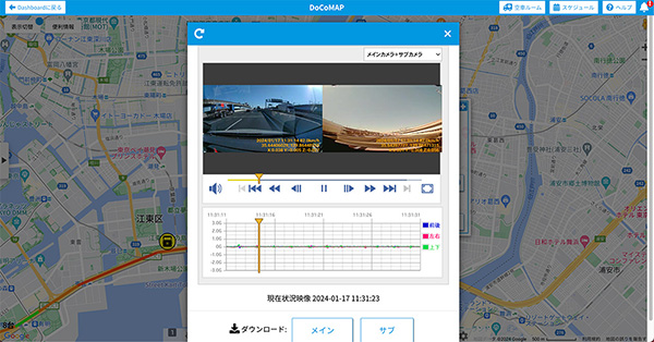
Check real-time and SD card video

You can remotely acquire and then view both real-time and recorded video from the vehicle route tracking screen.

Available when the vehicle engine is on and power is supplied to the main terminal.

Location tracking video

Current status recording

Full HD high quality video

The front camera is a FULL HD 2-megapixel camera, and the floor camera is an infrared camera, allowing for clear viewing even at night. Since data is recorded as both event video and constant video, it is possible to check the video at any time when an event occurs, and the constant video recorded on an SD card can also be acquired remotely for safety management.

Notification e-mail

When docomap Eye detects a dangerous behavior, it can immediately notify the administrator via LINE, Wowtalk, or e-mail, so that the administrator can manage crew safety in real time.

If dangerous behaviour is detected, you will be notified. In addition, you can check the recorded video by clicking on the URL.
You can view the record video of the incident on docomap VIEW.

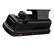
Pioneer製 DM04

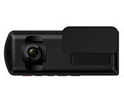
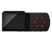
This two-camera model is equipped with an HD-quality front camera and can be supplemented by an additional indoor camera with infrared. A 'locus point video acquisition' function is available as standard, which allows remote acquisition of video stored on an SD card.

Option

Internal Camera

GNSS Positioning Satellite System

The device uses five satellite positioning systems: US GPS, Japan's MICHIBIKI (QZSS], Russia's GLONASS, Europe's Galileo, and China's BeiDou, allowing it to obtain more accurate location information.

Transmission Interval

Receiving position data every 12 seconds, you can view the vehicle route with high accuracy on DoCoMAP, making it ideal for DX data acquisition.

docomapPLUS Support

Supports the docomapPLUS application for DoCoMAP, which records operation status using a smartphone, enabling real-time recording and management of operation status linked to vehicle location information in the cloud, as well as daily operation reports and labor management.

DoCoMAP Support

In addition to real-time location information, vehicle travel tracing, operation history, and a time machine function that allows the location of all vehicles to be checked are stored for one year and can be checked at any time. In addition, rain cloud information, company and shipper information, and more can be easily checked on the map screen.

Dashboard Support

A simple and easy-to-understand administrator-only page. Location information sent from devices and operation status data sent from dedicated applications can be managed in the cloud. In addition, you can access the Dashboard anytime, anywhere from your browser to check the data.

Dangerous Driving Behavior Detection

Accurate speeds from 3-axis acceleration sensors and vehicle speed pulses can be used to detect dangerous behaviors such as speeding, sudden acceleration/deceleration, and sharp turns, and to notify the administrator. Administrators are notified and hazardous behaviors can be checked at any time from the event list.

LTE support

The device can be used within LTE areas nationwide. It is 5 times faster than the conventional communication standard (3G) and allows administrators to manage location information immediately.

Size (mm) W128 × D50 × H50
Weight Approx. 206g
Positioning method GNSS (GPS、QZSS、GLONASS、BeiDou、Galileo) compatible
Built-in GPS, G Sensor, Gyro Sensor
Recording resolution Full HD (1080p], HD (720p], VGA (480p)
Frame rate Full HD: 23 fps, HD: 16 fps, VGA: 7 fps
Number of pixels 2 megapixels (vehicle interior camera: approx. 300,000 pixels)
Recording media microSD card (SDHC: 16 GB to 32 GB) (SDXC: 32 GB to 512 GB, class 10 or higher) * Included: 128 GB.
Transmission interval Minimum of approximately every 12 seconds
Communication method LTE/3G
Operating environment temperature -10℃ to 60℃ (excluding battery operation)
Power supply voltage 12V/24V

Save recorded incidents

docomapEye automatically uploads 20 seconds of video and audio to the cloud when sharp turns, sudden acceleration/deceleration, or collision is detected (12 seconds before the detection, and 8 seconds after). You can view the uploaded video at any time from the DoCoMAP screen.


Dangerous Driving Behavior Detection

Using DoCoMAP, it is now possible to prevent safety-related incidents and detect accidents.

Hazardous behaviour is detected at precise speeds using a 3-axis acceleration sensor and vehicle speed pulses. In addition, remote video acquisition is possible.

Check real-time and SD card video

You can remotely acquire and then view both real-time and recorded video from the vehicle route tracking screen.

Available when the vehicle engine is on and power is supplied to the main terminal.

Location tracking video

Current status recording

Full HD high quality video

The front camera is a FULL HD 2-megapixel camera, and the floor camera is an infrared camera, allowing for clear viewing even at night. Since data is recorded as both event video and constant video, it is possible to check the video at any time when an event occurs, and the constant video recorded on an SD card can also be acquired remotely for safety management.

Notification e-mail

When docomap Eye detects a dangerous behavior, it can immediately notify the administrator via LINE, Wowtalk, or e-mail, so that the administrator can manage crew safety in real time.

If dangerous behaviour is detected, you will be notified. In addition, you can check the recorded video by clicking on the URL.
You can view the record video of the incident on docomap VIEW.
docomap JAPAN ・ Customer Support
03-6809-2105
Business hours 9:00 ~ 18:00 (Except weekends and holidays)